
This month’s damaging wildfires will have the potential to create serious flooding, erosion, and landslides long after the fires have been contained. The State of Colorado has numerous resources that provide up-to-date information on potential hazards, as well as planning tools for minimizing risk and damages.
For current updates, see coemergency.com, the official source for news and status reports from the state Emergency Operations Center. Another source for daily updates is the Colorado Flood Threat Bulletin, provided by the Colorado Water Conservation Board. This site includes maps, weather data, and conditions around the state to provide alerts on potential flooding. Although flooding is not expected at the present time, the potential exists for future floods due to the environmental impacts of the wildfires.
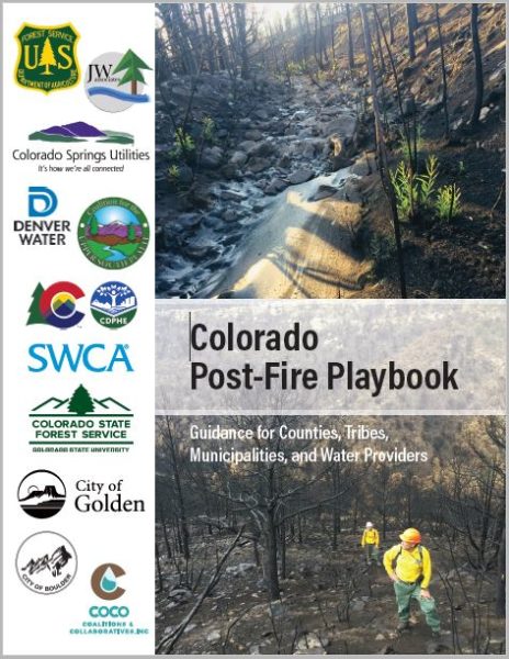 The State of Colorado also offers a variety of hazard planning resources and publications. The Colorado Department of Public Health and Environment and other partners developed a Post-Fire Playbook that provides local governments with “guidance in terms of navigating the complexities surrounding post-fire rehabilitation.” The Colorado Department of Transportation has issued Post-Fire Ground Treatments, a research report assessing ground treatment methods for mitigating erosion and runoff after wildfire. The Colorado Hazard Mapping & Risk MAP Portal; the Colorado Hazard Mapping Program (CHAMP); Planning for Hazards: Land Use Solutions for Colorado; and the State Forest Service’s Restoration and Rehabilitation website are additional useful resources. The Forest Service has also produced the publication Forest Management to Protect Colorado’s Water Resources, which deals with issues related to forest disturbances. Finally, see the Colorado State University Extension fact sheet Soil Erosion Control After Wildfire for basic information and techniques.

- How to Spot the Differences Between Eagles and Hawks - August 16, 2021
- How Transportation Projects Help Tell the Story of Colorado’s Past - August 9, 2021
- Time Machine Tuesday: The Night the Castlewood Canyon Dam Gave Way - August 3, 2021