
The Colorado Demography Office offers a number of resources regarding population data. Some of these have been explored previously in this blog. Today, however, I wanted to highlight their GIS maps and data, located on their State of Colorado: GIS Directory website. This site gathers many of the Colorado state agencies’ GIS maps together in one place.
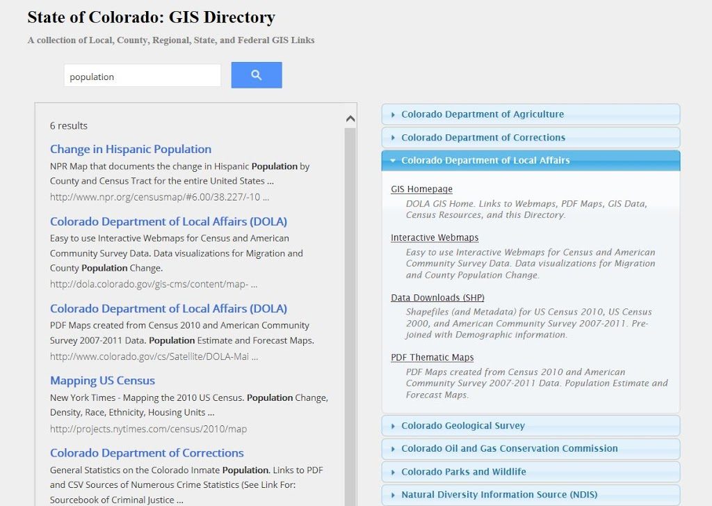
You can either view data by agency in the pull-down menu, or type a keyword search in the search box. For example, if you type “population” in the search feature, you will get a list of GIS resources that includes both State of Colorado sites and external links that have been added by Demography Office staff. Check out this helpful resource if you are searching for GIS data on a wide variety of topics including not only demographics, but natural resources, corrections, health, transportation, and more.
You can find more resources, such as thematic PDF maps, interactive maps, census data, and GIS shapefiles, at the Demography Office’s GIS Maps and Data website.

- How to Spot the Differences Between Eagles and Hawks - August 16, 2021
- How Transportation Projects Help Tell the Story of Colorado’s Past - August 9, 2021
- Time Machine Tuesday: The Night the Castlewood Canyon Dam Gave Way - August 3, 2021